
Kingston Belle Park Master Plan.
A master plan for Belle Park in Kingston, a 17 ha former landfill on the Cataraqui River, shaped by public engagement and a shift from golf to trails, lookouts and naturalization.
- client
- City of Kingston
- location
- Belle Park, Cataraqui River, Kingston, Ontario
- year
- 2018 to 2019
- status
- master plan
- thinc's role
- landscape architect: guiding principles, public engagement, master plan
- size
- 17 ha (44 acres)
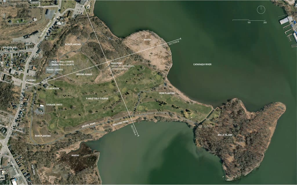
Belle Park sits on the Great Cataraqui River just north of downtown Kingston, part of the UNESCO Rideau Canal waterway. The 17 ha (44 acre) site was a marsh until 1952, then a municipal landfill until 1974, and opened as a park in 1978 with a 9-hole golf course, sports courts, walking paths and a connection to Belle Island.
Belle Island, beside the park, is Indigenous land that was once a First Nations hunting and fishing camp and burial ground. The landfill forms a physical link to the island, so respecting that connection was central to the project, alongside the contamination and ongoing leachate monitoring and collection that a former landfill requires.
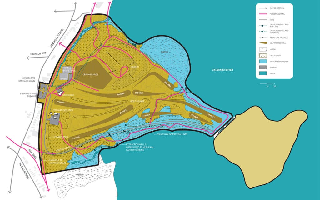
In 2016 council directed a public engagement process to rethink how the park is used and who it serves. The result was a decision to reduce golf in favour of other recreation, naturalization, walking trails and lookouts. thinc design was retained to set guiding principles for the park and turn them into a final master plan.
Beginning in 2018 the design process included 13 working group meetings, 5 open houses, 4 Indigenous focused consultations and 5 online surveys. Seven key attributes emerged: the natural environment; trails, access and views; social programming; culture, heritage and education; land management; recreation; and infrastructure. The main challenge was balance, between active recreation and quieter passive uses, and between habitat and naturalization and new amenities, on a site prone to flooding.
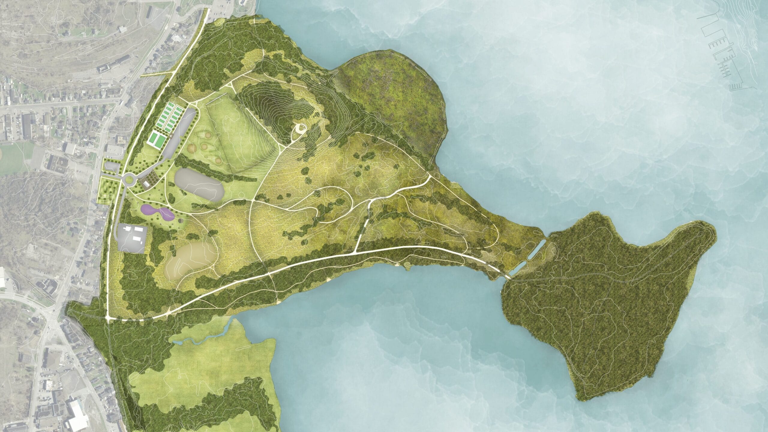
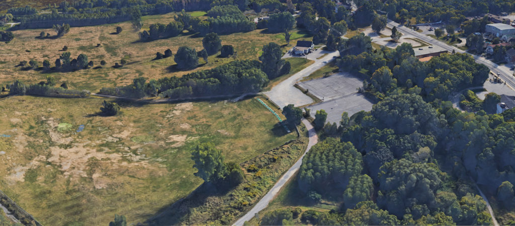
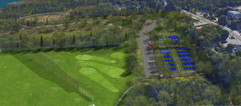
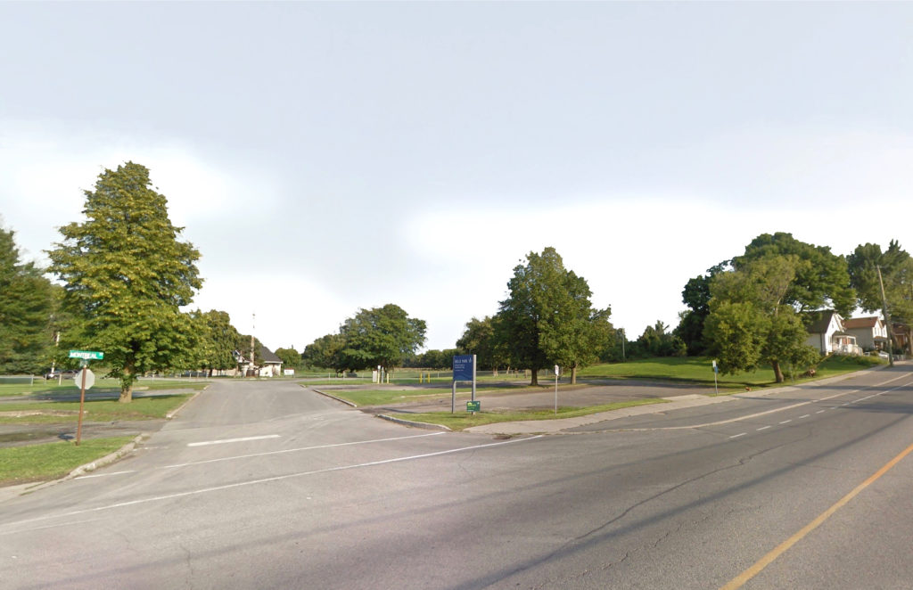
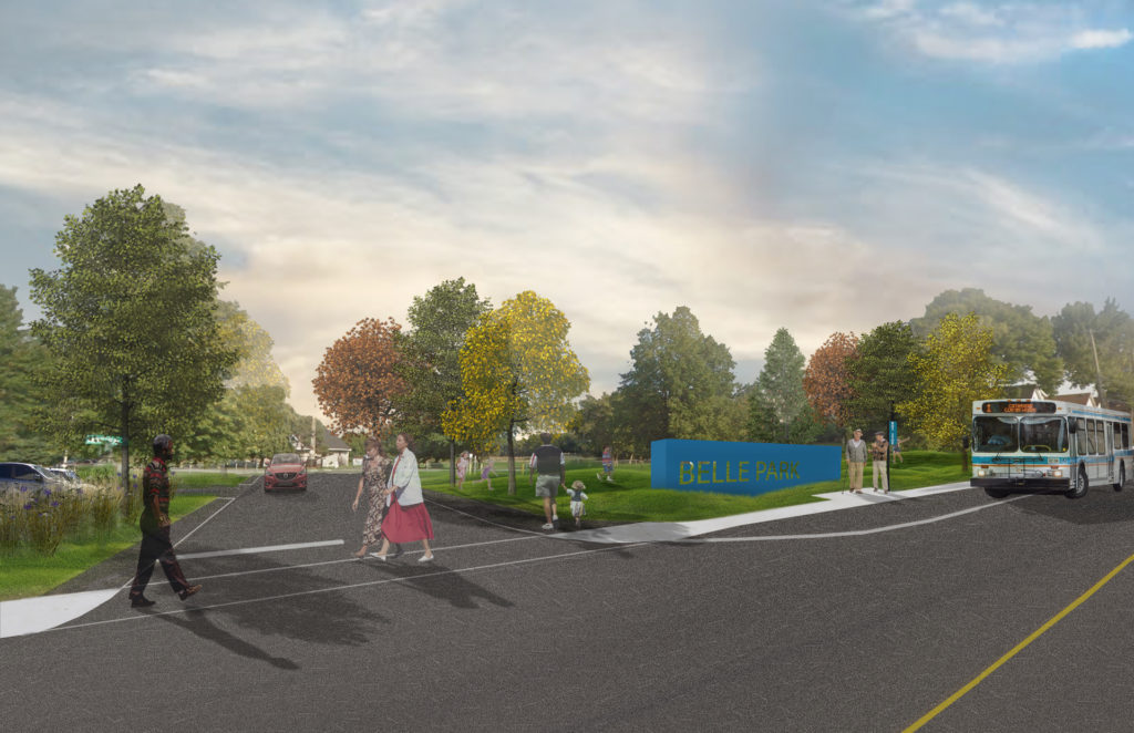
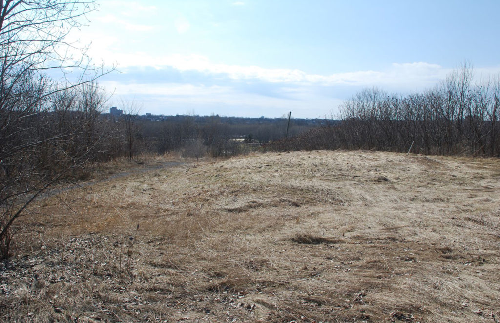
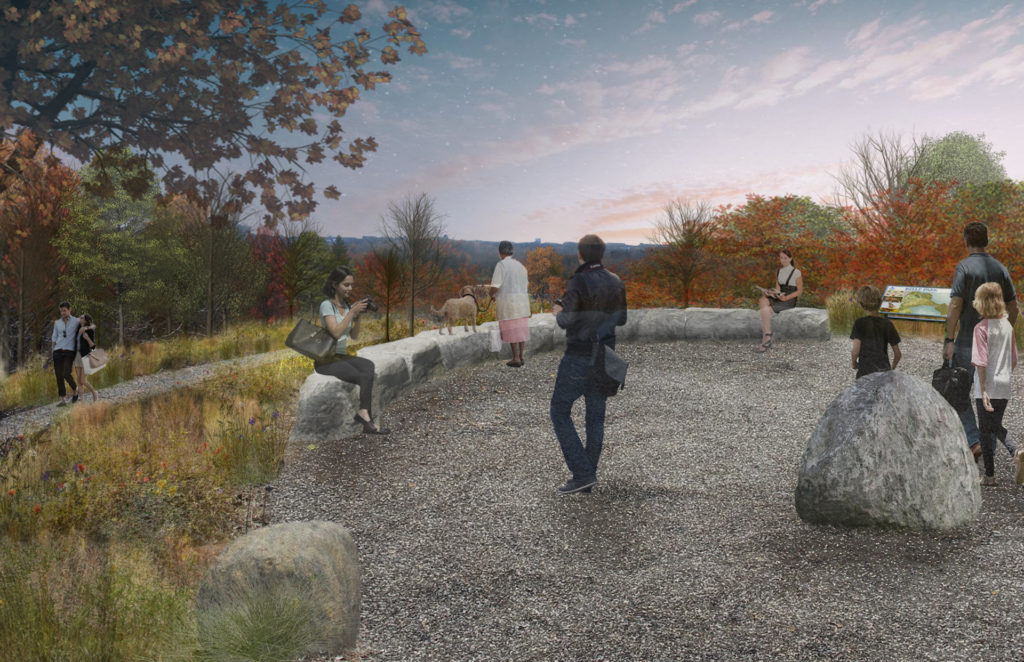
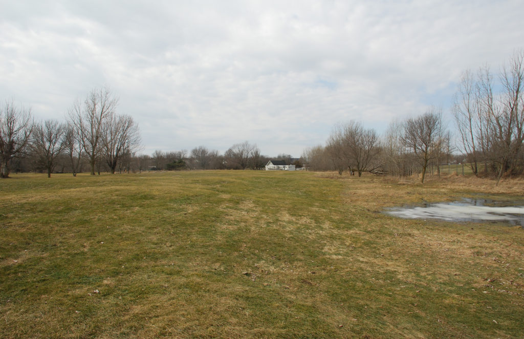
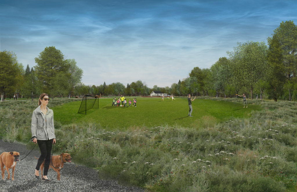
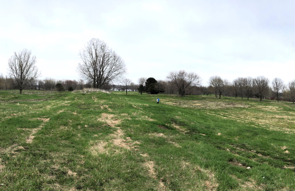
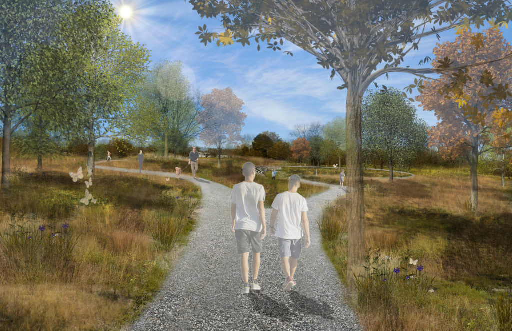
The plan reimagines the park as a graduated landscape in five zones: manicured lawn for recreation, grassland and meadow, tall grass prairie and savannah, succession, and woodland. Native planting builds habitat and biodiversity across them. It lays out a front entrance, a lookout, new playfields and a landform known as the bump, with before and after views that show how each area could change.
An adaptive management plan guides the work over many years. Its recommendations are organized into about 40 projects in three phases, to be carried out over 15 years and beyond.

more waterfront and master plans
 kingston waterfront master plan
City of Kingston · completed
 kingston douglas fluhrer park
City of Kingston · master plan completed
 arnprior waterfront master plan