
york regional forest trails plan.
Trail planning, design and management guidelines, and a preferred trail network, for the 24 tracts of the York Regional Forest.
- client
- The Regional Municipality of York
- location
- York Region, Ontario
- year
- 2022 to 2026
- status
- final submission December 2025
- thinc's role
- landscape architect and lead consultant: visitor profiles, trail classification, design guidelines and standards, asset strategy and preferred trail network
- size
- 24 forest tracts, over 2,540 hectares
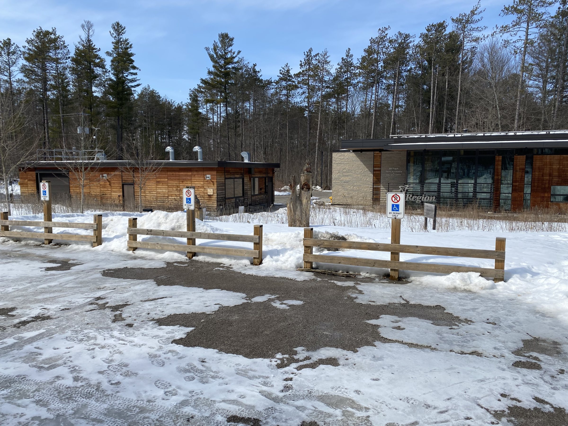
The York Regional Forest is a collection of 24 tracts covering more than 2,540 hectares, first established in 1924 and now visited by roughly 1,600 people a day. A network of about 153 kilometres of sanctioned trails, and another 81 kilometres of trails made by visitors, crisscrosses it. The Region retained thinc design to turn its 20-year forest management plan into a practical trails strategy.
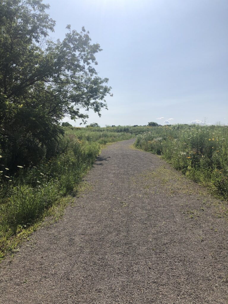
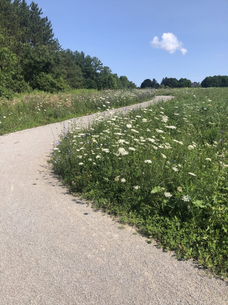
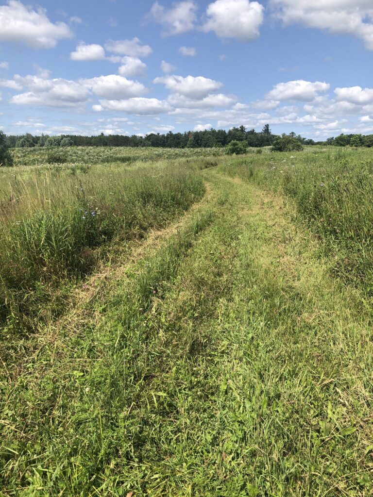
The work ran in seven phases. We started with background research and a review of best practices, then defined the forest's visitors and what each group needs from a trail: social walkers, people seeking quiet time in nature, runners and hikers, riders, and Region staff who need to get in to manage the forest. From those profiles we built a trail classification system, with a Forest Access Route and three trail types, each with its own intent, dimensions, surface and typical cross section.
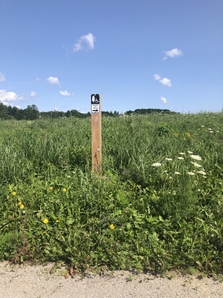
The design guidelines and standards cover trails, parking, vehicle and pedestrian entrances, private access points, benches, boardwalks and bridges, with accessibility built in and an updated accessible trail standard. An asset strategy sets out maintenance, rehabilitation and replacement over the life of each asset, to inform the Region's capital planning.
The final phase applied all of it to the forest itself. For every tract we mapped existing sanctioned and unsanctioned trails against slopes, soils, wetlands and watercourses, measured trail density, and recommended which trails to keep and classify, which to develop, which to decommission and which to study further. The same review covered parking and access points. At Hall Tract, for example, the preferred network cuts 16.9 kilometres of trails to 11.2, while upgrading the best of the visitor-made trails into planned loops.
The plan was developed with a Technical Advisory Team, the Regional Forest Advisory Team and the York Region Accessibility Advisory Committee, through five rounds of review.
more projects
 prince edward point national wildlife area
Canadian Wildlife Service, Environment and Climate Change Canada · complete
 grimsby parks master plan
Town of Grimsby · complete
 richmond hill trails
City of Richmond Hill · in design